Cemetery Geographic Information Services (CGIS)
Visit CGIS Site (us-cemeteries.com)Gravesite Record Management
![]()
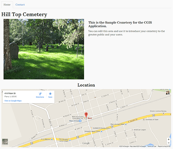
CGIS is a unique and inexpensive system developed to enhance gravesite record keeping. CGIS provides digital records that are easy to access, maintain, and update from anywhere.
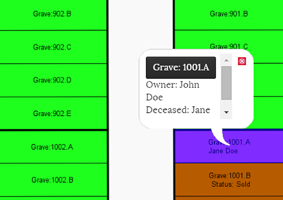
Interactive Map
![]()
Your gravesite data can easily be entered into the secure CGIS system and connected to the actual gravesite location on an interactive map of your cemetery.
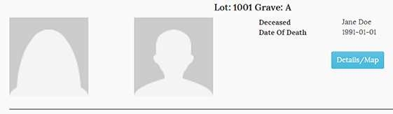
Easy Search
![]()
Find records easily by location, owner’s name, or deceased’s name
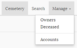
User Management & Public Access
![]()
The system allows public viewing, if desired, you can easily manage who sees what, and keep your data secure.